Coral Gables just solved one of South Florida's oldest planning tensions — the tug-of-war between transit-oriented density and neighborhood design — not by picking a side, but by writing its own rules fast enough to matter.
The University Station Rapid Transit District Overlay is the right response to a real governance gap
On September 3, 2025, the Miami-Dade County Commission formally approved the Coral Gables/University Station Sub-Zone of its Rapid Transit Zone (RTZ) program, asserting county jurisdiction over development within a quarter-mile of the University of Miami Metrorail Station. That move was the trigger. Coral Gables had actually moved first — its Planning and Zoning Board voted 5–1 on July 2, 2025 to recommend the University Station Rapid Transit District Overlay, a local framework designed to give developers an attractive, city-controlled approval path before the county's more permissive rules became the only option on the table.
- The RTZ framework allows projects to proceed under county rules, bypassing local zoning and routing impact and permit fees to the county rather than the city.
- Without the overlay, large-scale developments along U.S. 1 near the University Metrorail Station could move forward independently of Coral Gables' planning and zoning processes.
- City Manager Peter Iglesias framed the city's goal directly: "support smart growth near transit while safeguarding the character and quality of life that make Coral Gables unique."
The Mark shows how negotiation beats abdication
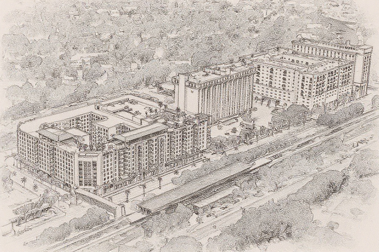
The clearest demonstration of the overlay's value is The Mark, a 393-unit mixed-use development proposed at 1250 South Dixie Highway. When the developer's original eight-story design was rejected by the Planning and Zoning Board, the project shifted to the county's RTZ — where it could have risen to 150 feet, property-line to property-line, with no setbacks, no parking requirements, and zero city input. The April 14, 2026 commission vote — 4–1 — approved the site plan and simultaneously expanded the overlay to include the Gables Waterway properties at 6100 Caballero Boulevard, pulling a second corridor block back under city review before it, too, could opt into county jurisdiction.
- The city negotiated the building down 45 feet from the county's 150-foot maximum, securing setbacks, use controls, and architectural review in the process.
- The overlay requires 25 percent open space versus the county's 10 percent, plus a 50-foot landscape setback from single-family properties where the county requires none.
- Public-realm proffers include a multi-use pedestrian path to the US-1 bridge, extended sidewalks, and protected bike boulevard markings — amenities that make the Metrorail corridor more walkable for every future resident.
The overlay model is replicable — and South Florida needs it to be
Coral Gables is not the only city sitting inside Miami-Dade's Rapid Transit Zone footprint. Metrorail's 23-station, 24.4-mile spine passes through or touches multiple municipalities, and the county's RTZ quarter-mile reach — already demonstrated to produce a 38-story tower next to the Douglas Road station in 2023, the tallest building outside of Brickell — will extend as the Strategic Miami Area Rapid Transit (SMART) Program adds corridors. Every city along those lines faces the same arithmetic: transit-adjacent land will densify; the only question is whether local governments shape that density or watch it happen to them. Coral Gables answered that question by moving before the county did, drafting an overlay that makes city approval genuinely competitive with county approval — shorter path, better design, same density entitlement — rather than trying to block growth outright.
- Miami-Dade's Metrorail carried 51,600 average weekday riders in Q1 2026, a system whose stations increasingly anchor real development rather than parking decks.
- The overlay caps heights at 120 feet for standard MX-3 properties, rising to 150 feet if developers provide 10 percent additional open space — a built-in incentive for quality.
- The city's Comprehensive Plan and Zoning Code amendments, passed January 29, 2026, shifted the corridor from mixed-use 1 to mixed-use 3 and set a maximum floor area ratio of 3.5 — numbers that invite serious residential density while preserving the Mediterranean design guidelines that distinguish the city.
When Coral Gables gets this right, its University Station becomes a model for the whole Metrorail spine
The finished product — a walkable, transit-adjacent district anchored by a renovated University of Miami Metrorail Station, lined with 120-foot buildings that respect setbacks, open space, and street-level pedestrian life, funded in part by impact fees that stay in the city rather than flowing to the county — is exactly the kind of station district South Florida keeps promising and rarely delivering. Coral Gables is doing the hard legal and political work to make it real, choosing negotiation over gridlock at every step. If the city can sustain that discipline through the next wave of RTZ applications along Caballero Boulevard and beyond, the University Station corridor will stand as proof that the best transit-oriented neighborhoods aren't accidents of county preemption — they're the product of cities that showed up early, wrote good rules, and held the table.